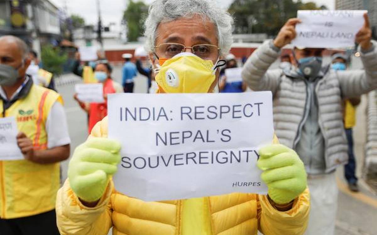
Amid an ongoing dispute with India over territories, Nepal on Wednesday launched its new political map. This new map shows Lipulekh, Kalapani and Limpiyadhura as parts of Nepal. Padma Kumari Aryal, a minister for land management in Nepal, made an announcement regarding this. The map was approved by the Nepal cabinet on Tuesday. Nepal Will Reclaim Lipulekh, Kalapani, Limpiyadhura from India: Oli.
Nepal claims the Indian territories as its own. The updated map was the Ministry of Land Management in Tuesday’s Council of Ministers meeting. Yubraj Khatiwada, Minister of Finance and Information and Communication, said, “The new map incorporates northern, southern, western and eastern International borderlines as well as includes the political and administrative arrangements.” Nepal Cabinet Approves New Map Incorporating Lipulekh, Kalapani, Limpiyadhura, Claims Its Territories.
This new map will be used in all kinds of documents which has been enforced on by the Nepal government. The border dispute with Nepal started after Defence Minister Rajnath Singh on May 8 inaugurated a new road connecting the Lipulekh pass in Uttarakhand with Kailash Mansarovar route in China.
India and Nepal share a 1,800km (1,118-mile) open border. Nepal said that it has “consistently maintained” that as per the Sugauli Treaty (1816). The Nepal government claimed that “all the territories east of Kali (Mahakali) river, including Limpiyadhura, Kalapani and Lipu Lekh, belong to the country.
The Lipulekh Pass is claimed by Nepal based on the 1816 Treaty of Sugauli it entered with the British colonial rulers to define its western border with India. Kathmandu also claims the highly strategic areas of Limpiyadhura and Kalapani, although Indian troops have been deployed there since New Delhi fought a war with China in 1962.


Discussion about this post